
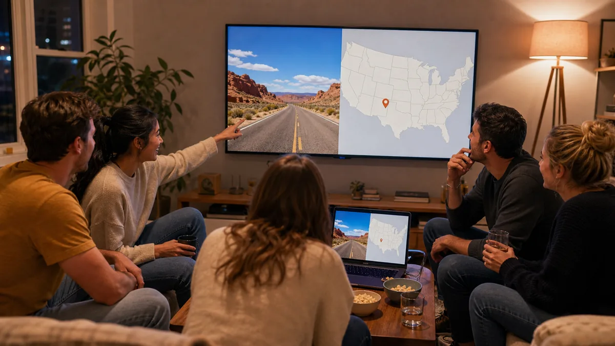
Choose Daily Challenge or a relaxed map when you want a short solo game, Explorer when you want to study one country at a time, Duels for direct competition, and Party when friends want to play live together. In every format, scan broad clues before tiny details: driving side, road paint, script, climate, and terrain usually narrow the world faster than one uncertain object.
How GeoGuessr games work
The core task is simple. A round presents a 360-degree view of a place, you examine the visible environment, and you place a pin where you think the camera is. Your result depends on how close that pin is to the actual location. The useful part is everything between the first look and the final click: you are turning landscape evidence into a geographic argument.
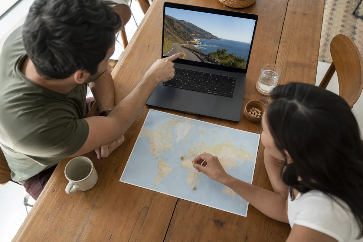
Begin at the largest scale. Is the land dry, tropical, temperate, mountainous, or flat? Which side of the road is traffic using? What kind of infrastructure surrounds the camera? Then move inward to language, signs, lane markings, poles, plates, and roadside objects. A strong guess combines several clues that point in the same direction.
- Observe: scan the whole scene before moving or zooming into one detail.
- Narrow: identify a likely region from climate, driving side, road design, and script.
- Confirm: look for a second or third clue that supports the same country.
- Place: choose the best-supported point on the map, even when the scene remains uncertain.
Which GeoGuessr games should you play?
Pick a mode by deciding whether you want routine, exploration, or pressure. GeoGuessr currently presents free daily gameplay as the easiest recurring entry point, while its wider map library, multiplayer competition, private parties, and custom content sit among subscription features.
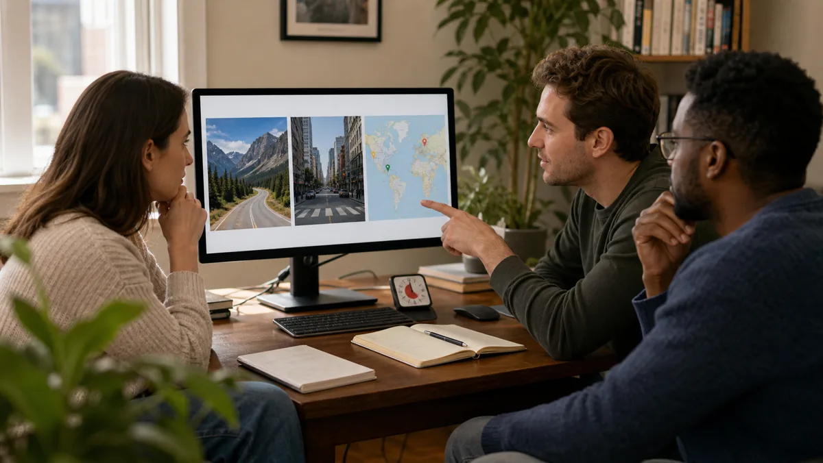
Daily Challenge for a repeatable short session
The Daily Challenge offers a fresh set of five locations each day. It is a clear choice when you want one defined run and a result you can compare without choosing among hundreds of maps.
Classic maps for self-paced exploration
Classic maps let you explore official and community-made location sets at your own pace. A host with the required subscription can also create a challenge link from a classic map, giving friends the same map to play individually.
Explorer for focused country practice
Explorer organizes play by destination and awards medals for accuracy. Use it when random world rounds feel too broad and you would rather build a visual profile of one country before moving to another.
Duels for direct competition
Duels makes the geography puzzle head-to-head. It suits players who already understand the basic clue loop and want faster decisions against an opponent rather than a private score chase.
Party for a live group
Party is the official shared-room option for friends, coworkers, or a class. One host selects a mode and map, then invites everyone with a link or room code.
How to play GeoGuessr games with friends
For an official GeoGuessr Party, a Pro subscriber creates the room at the Party page, selects the game mode and map, and shares the generated link or code. Guests choose nicknames and can join without their own GeoGuessr accounts. The official organization plan currently supports up to 100 Party guests.
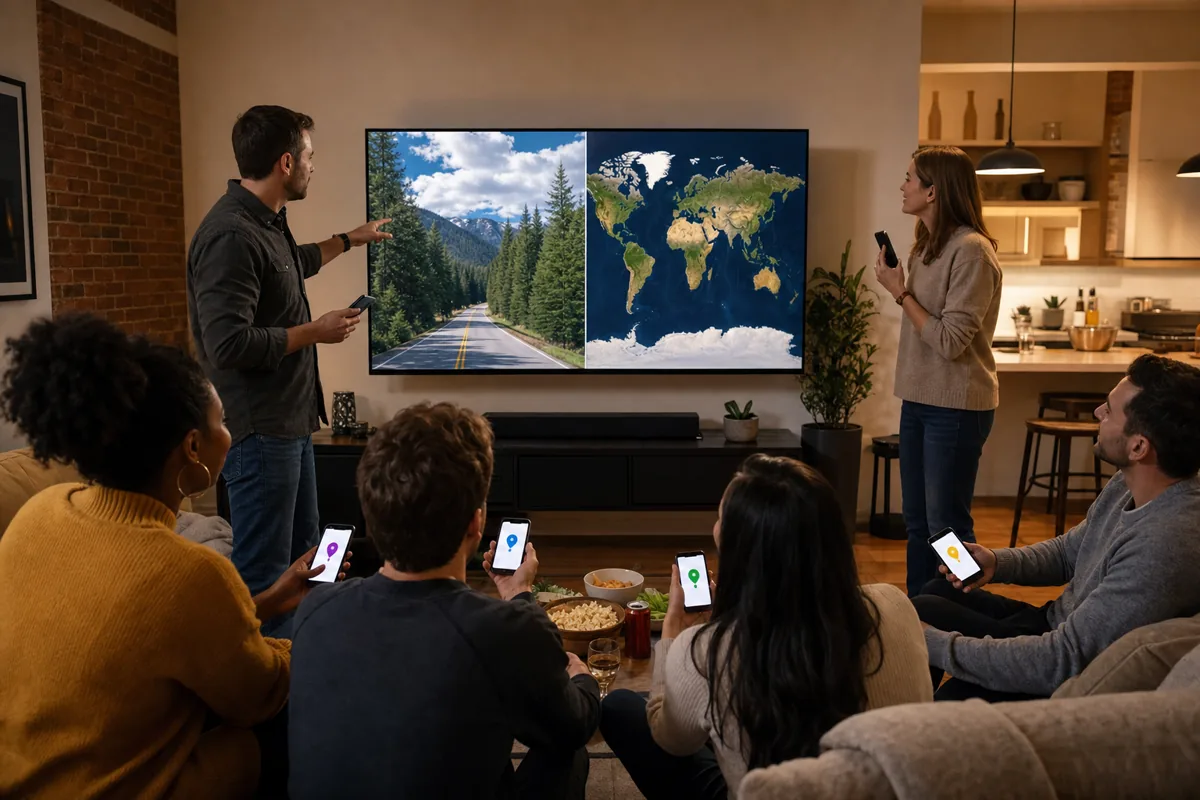
Before the first round, agree on whether research is allowed and how much discussion you want. Competitive GeoGuessr rules prohibit third-party tools or scripts that create an unfair advantage, so a clean group rule is to keep search, translation, and clue databases closed during each round and review them only afterward.
- Same room: put the main scene on a shared screen, but let each player make a guess from their own device when the mode supports it.
- Remote call: share the room link first, then keep conversation on your usual voice or video call.
- Mixed skill levels: let players explain the clue that shaped their guess after the reveal; this turns every miss into shared practice.
- Asynchronous friends: use a challenge link from a classic map so everyone receives the same map on their own schedule.
If your group wants a browser room built around photo clues, RoomPlay has a dedicated online geography guessing game. For other live formats, compare the setup in the guide to online party games.

Create a browser room, share the invite, and place your pins.
How to read clues in geography guessing games
A beginner does not need a catalog of obscure facts. Start with clues that divide the world into large regions, then add more specific evidence only when the scene demands it.

1. Driving side and road feel
Traffic direction immediately removes many countries. Then compare center and edge lines, pavement quality, road width, shoulders, and whether the route looks like a highway, village street, or unpaved track.
2. Language and script
Identify the writing system before trying to read a whole sign. Latin, Cyrillic, Arabic, and other scripts create a broad regional filter; distinctive letters or accent marks can narrow it further.
3. Climate, vegetation, and terrain
Look at moisture, soil color, tree type, elevation, and settlement density together. One plant can mislead, but a consistent combination of terrain, roofs, fencing, and vegetation is much stronger.
4. Roadside details
Bollards, plates, poles, sign shapes, and road paint become useful after the broad picture. For a bollard, scan its overall shape, top color or pattern, reflector arrangement, and material. Pair that observation with the road lines instead of treating one post as proof.
5. A second confirming clue
If language suggests one country but the road design suggests another, pause. The best location guesses come from independent clues that agree, not from forcing every object to fit the first hunch.
A simple GeoGuessr practice plan and common questions
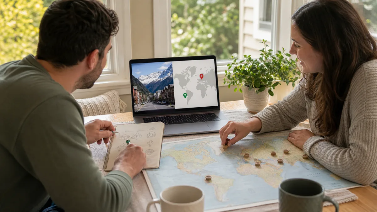
Improve by reducing the number of clue families you study at once. Play a world map while focusing only on driving side, script, and landscape. In the next session, add road lines or bollards. After a wrong country guess, record what you noticed and what you missed, then replay that specific clue family.
- Session 1: make fast guesses using only driving side, script, climate, and terrain.
- Session 2: study one concrete family such as road lines, bollards, or plates, then look for it during play.
- Session 3: write short profiles for two countries you often confuse and compare them side by side.
- Session 4: review recent mistakes after the round, not during it, and name the clue that would have changed each guess.
Can you play GeoGuessr for free?
GeoGuessr currently offers free daily gameplay. Its broader library of maps, competitive multiplayer, private Party games, and custom content are subscription features.
Can friends join a GeoGuessr Party without accounts?
Yes. GeoGuessr says a Pro subscriber can host the Party and invite guests by link or code. Guests choose nicknames and do not need GeoGuessr accounts.
What should a beginner look for first?
Begin with driving side, road markings, language or script, climate, and landscape. Add bollards, license plates, utility poles, and sign styles once the broad region is clearer.
What is the difference between Classic, Explorer, and Duels?
Classic maps support self-paced rounds and shareable challenges, Explorer organizes practice by country with medal goals, and Duels is a head-to-head competitive format.
Once the observation loop feels natural, change only one variable at a time: a tighter timer, a narrower regional map, or direct competition. That keeps practice measurable without replacing geographic reasoning with memorization overload.